UMBRÁCULOS | Cartografía climática
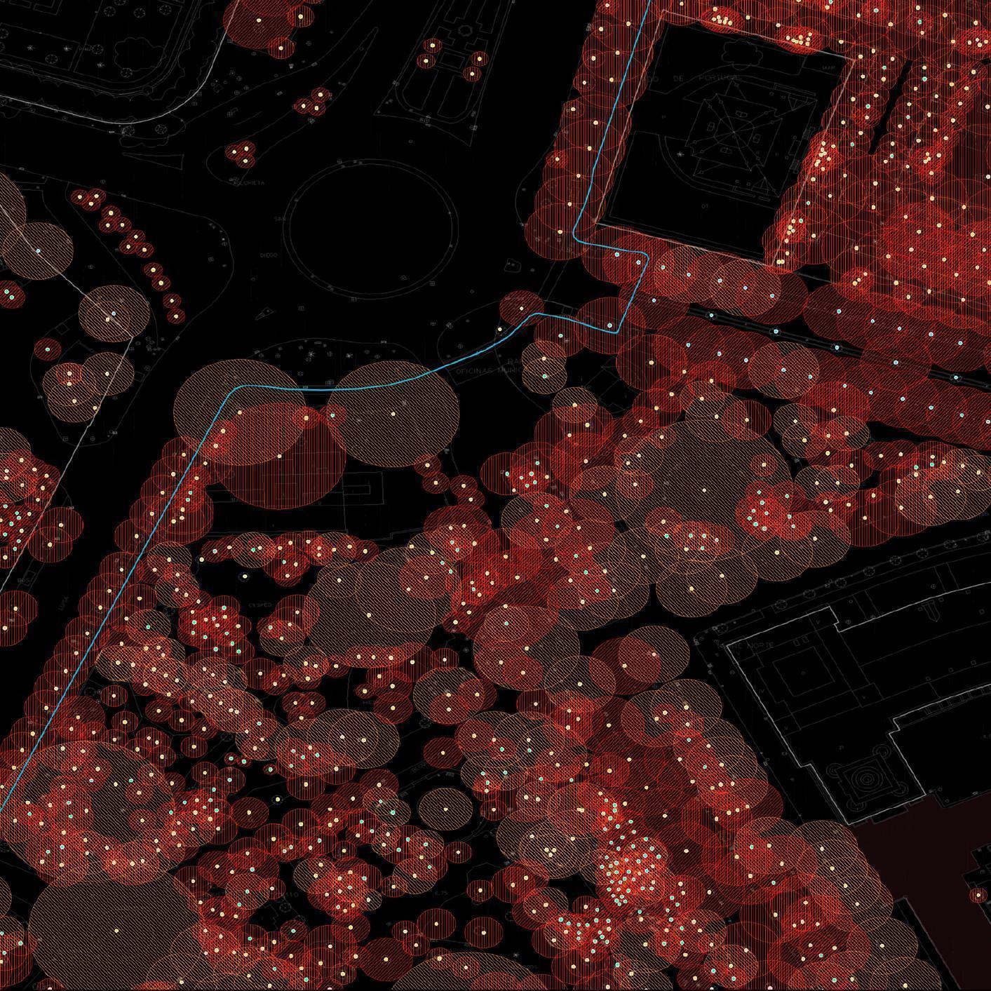
Umbráculos es una iniciativa de la ETSA (ETS Arquitectura de la Universidad de Sevilla) en colaboración con la FLUP (Faculdade de Letras de Universidade do Porto), mediante la cual se han cartografiado todos los árboles de la ciudad atendiendo a su porte y dimensiones, para posteriormente analizar la sombra que arrojan y las cualidades térmicas que propician. Una herramienta de gran utilidad para conseguir entornos habitables adaptados a las condiciones climáticas que nos esperan.
Grupo de investigación 'Arquitectura y Prospectiva'
____________________
CLIMATE CARTOGRAPHY
Umbráculo is an initiative of the ETSA (Technical High School of Architecture of Seville) in collaboration with the FLUP (Faculty of Arts and Humanities of University of Porto), in which all the trees of the city have been mapped according to their size and dimensions, to later analyse the shade that they provide and the thermal characteristics that they have. A very useful tool for achieving habitable environments adapted to the climatic conditions that await us.

 Powered by