SUMIDEROS | Cartografía atmosférica
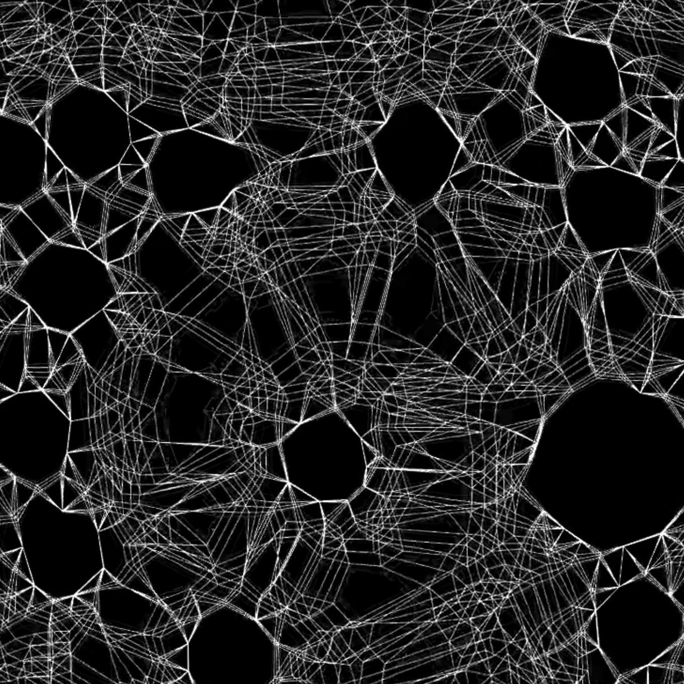
Sumideros es una obra que sondea de manera representativa el balance entre emisiones e inmisiones de CO2 en el planeta, concentrándose en las aportaciones realizadas desde la ciudad. De esta forma los creadores combinan datos estadísticos sobre la generación de CO2 por habitante con la absorción y fijación del mismo por parte de la vegetación, aflorando una topografía virtual donde se vislumbra su potencialidad para restablecer el equilibrio.
Eduardo Mayoral y Miguel Ángel García
________________________
ATMOSPHERIC CARTOGRAPHY
Sumideros is a project that investigates, in a representative way, the balance between CO2 emissions and ground level concentration of pollutants in the city of Seville, as well as the capacity of vegetation to mitigate this phenomenon. The creators use statistical data on the generation of CO2 per inhabitant and combine them with values of absorption and fixation of CO2 that different plant species have, in order to generate a virtual topography that shows the potential of the vegetation to restore the equilibrium.

 Powered by